Satellite Remote Sensing And GIS: Seeing Farms From Above
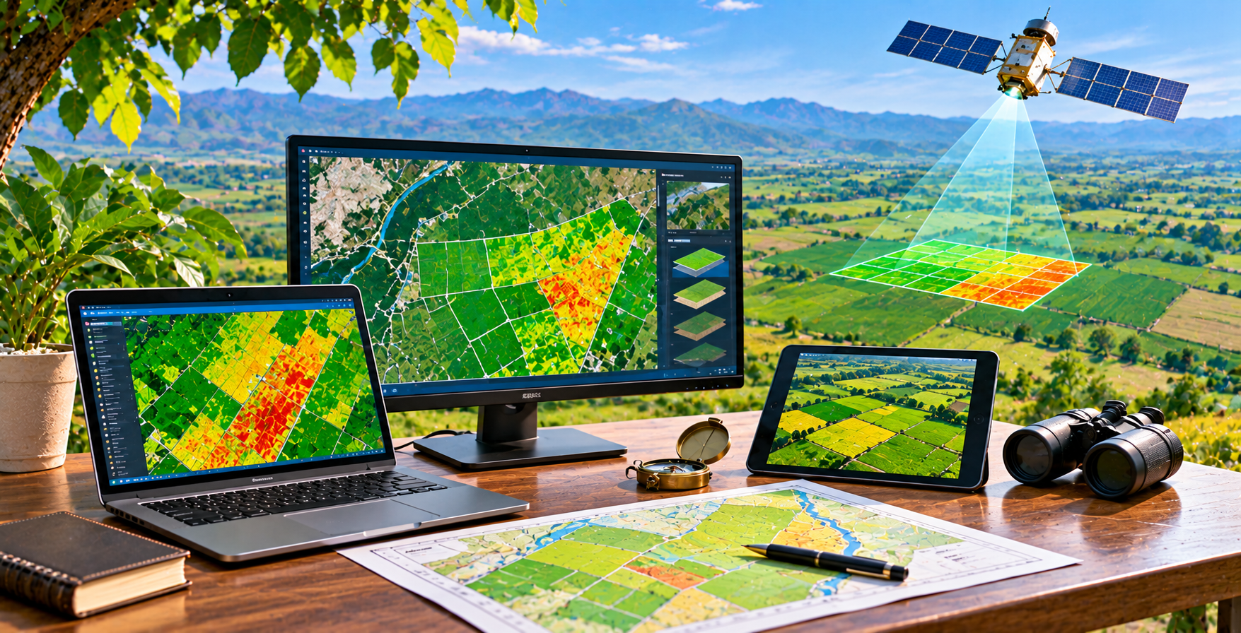
Satellite remote sensing and geographic information systems (GIS) make it possible to study agricultural landscapes across large areas. Satellite imagery can provide repeated observations of vegetation, land cover, surface conditions, and seasonal changes. GIS brings these layers together with field boundaries, soil information, water infrastructure, roads, and administrative maps. Used appropriately, these tools can support crop-area estimation, agricultural assessments, drought awareness, resource planning, and monitoring of projects over time.
Vegetation indices and other image-derived measures can help identify differences in crop vigor. However, an image does not automatically explain the cause of a difference. Variation may reflect crop type, planting date, soil characteristics, irrigation, weather, disease, or even cloud and sensor effects. Interpretation should therefore use local knowledge, ground observations, and, where relevant, laboratory or field measurements. Resolution and revisit frequency also matter: some questions require detailed field-level data, while others can be answered with broader regional imagery.
For institutions and agribusinesses, geospatial analysis can improve planning and communication. Maps can help visualize service areas, identify potential production zones, compare seasonal patterns, and organize field visits. In supply chains, location-based data may assist sourcing assessments and infrastructure planning. Project teams can establish a baseline and use consistent methods to assess changes, while documenting uncertainty and data limitations.
Access to satellite imagery and GIS software varies, and technical capacity is needed to handle data responsibly. Users should consider data licensing, privacy, map accuracy, and the consequences of decisions based on spatial analysis. Jadeed Zaraat can help define the assessment question, coordinate geospatial expertise, and connect mapping outputs with agricultural consultancy and project support. Satellite observations are powerful when they are treated as evidence to guide investigation and planning, not as a stand-alone diagnosis or guarantee of outcomes.