
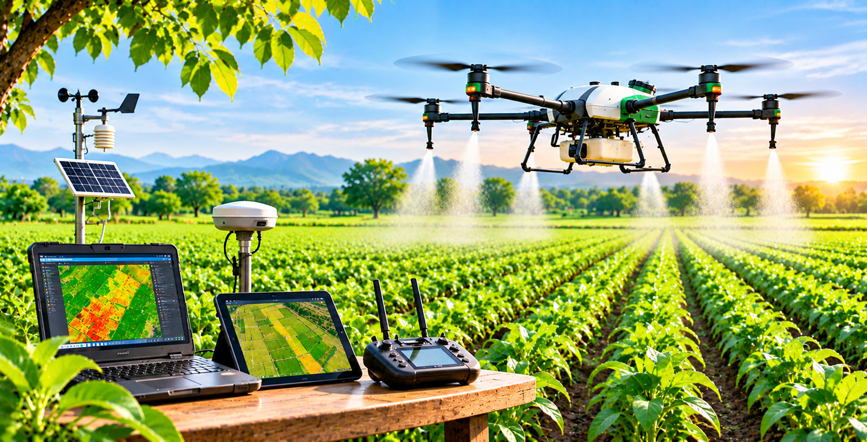
Drone-based Crop Monitoring And Precision Spraying
Agricultural drones are expanding the ways farmers and agribusinesses observe and manage fields. Equipped with cameras or other sensors, drones can capture aerial images that reveal variation in crop growth, water stress, damaged areas, and field conditions. When flights are planned consistently and imagery is interpreted carefully, this information can help teams prioritize field inspections and understand where attention may be needed. Drone mapping can also support field boundaries, crop stand assessment, and project monitoring.
The value of drone technology is not simply the image itself. It comes from translating observations into appropriate action. A suspected nutrient issue, for example, should be checked against soil or plant analysis and field conditions before an input is applied. A disease pattern may require a specialist’s diagnosis. Combining aerial information with ground scouting helps avoid overconfidence and improves the quality of decisions. Weather, flight height, sensor quality, image resolution, and operator skill can all influence the usefulness of collected data.
Drones may also be used for precision spraying in locations and situations where the equipment, crop, product, and operating conditions make it suitable. Application must follow product labels, relevant laws, operator training, drift prevention measures, and environmental and worker-safety requirements. Wind, temperature, nearby people, water bodies, and sensitive crops require careful consideration. Local rules may govern registration, permissions, and flight operations.
For many farms, the right approach is to evaluate the total cost of ownership or service hire, maintenance, batteries, software, training, and the availability of skilled operators. A pilot project can compare drone-supported work with existing practices using clear indicators such as time saved, coverage, application accuracy, or improved scouting efficiency. Jadeed Zaraat can support needs assessment, project planning, and coordination with qualified drone service providers. Drones are most effective as part of an integrated crop-management system—not as a substitute for agronomic expertise.